About project
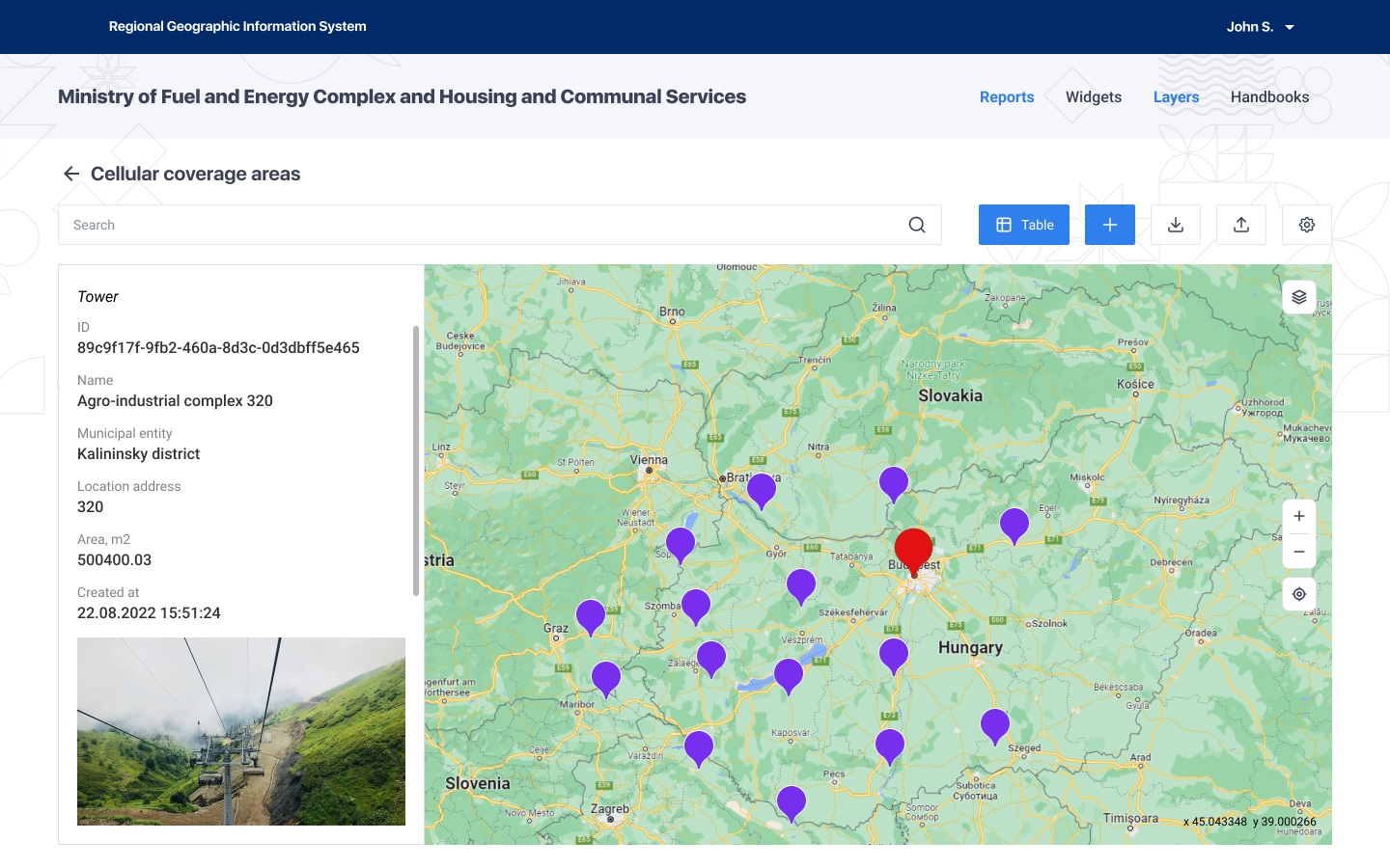
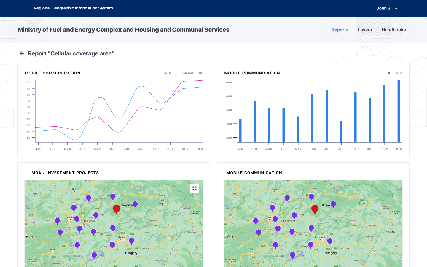
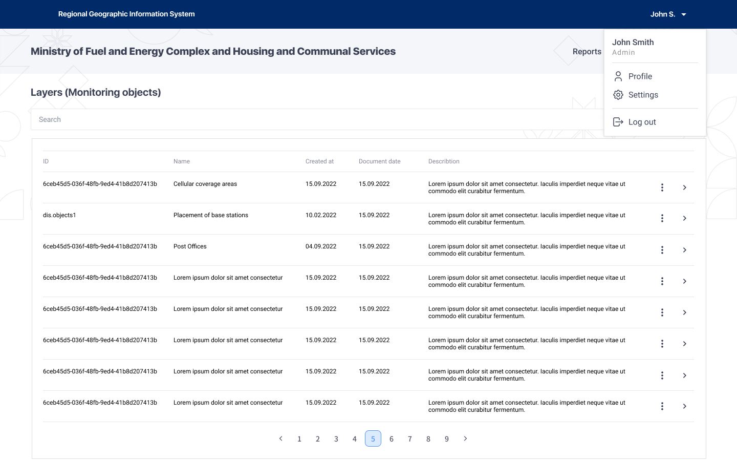
Geographic information system is a multi-service information and communication system that currently allows receiving information from citizens on illegal construction on the territory of the city and maintenance and development of urban infrastructure.


Facts
Enables the creation of personal offices of public authorities.
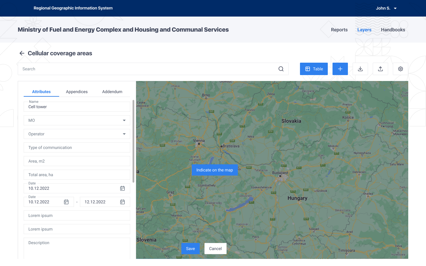
Supports flexible customisable stylisation of registers on the map.
There are versioning and auditing mechanisms (changes are recorded).
Integration with ESIA.
Customer

Department of Informatization and Communications of the Krasnodar Region
Spellsystems Role
The role of Spellsystems is to create an architecture and develop a registry module for all authorities, which will be able to store a large amount of information and directories concerning cadastral and landed properties in the territory of the region.
Goal
The aim is to increase the efficiency of spending regional and municipal resources (financial, organisational and human) to comply with the requirements to the legislation in terms of transferring spatial data to federal information systems and in terms of ensuring the security of transferred information.
Technologies
Basic technologies
1
- Java
Web Interface
2
- MaterialUI